Master-Planned Valley in LA County
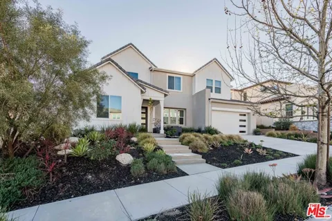
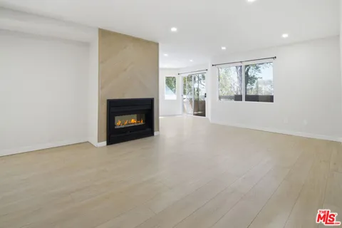
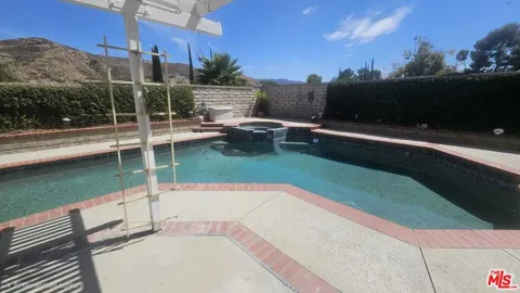
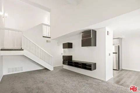
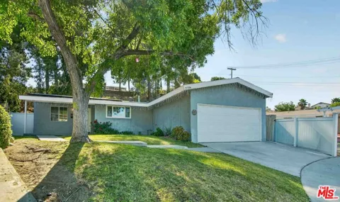
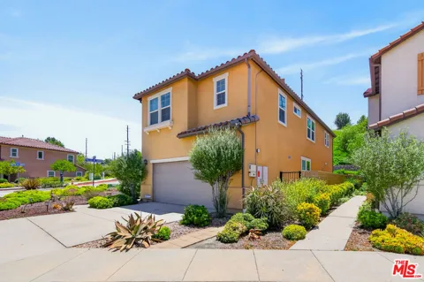
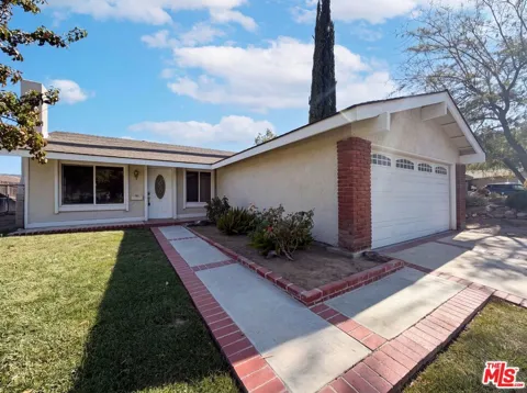
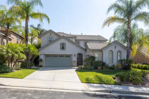
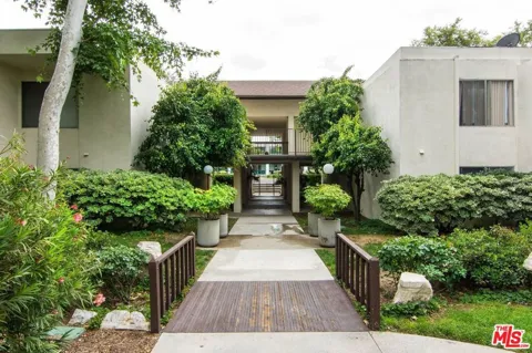
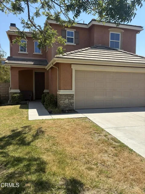
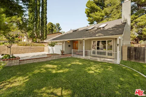
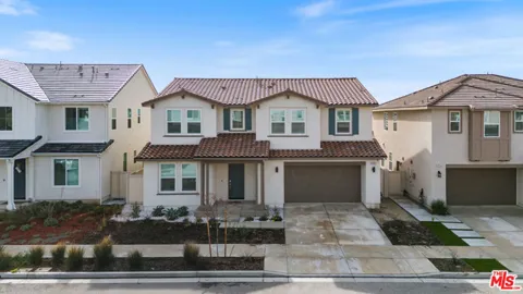
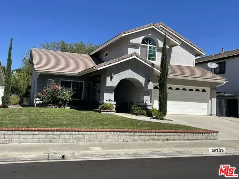
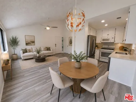
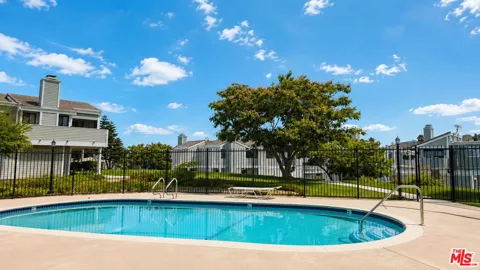
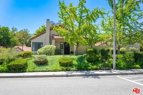
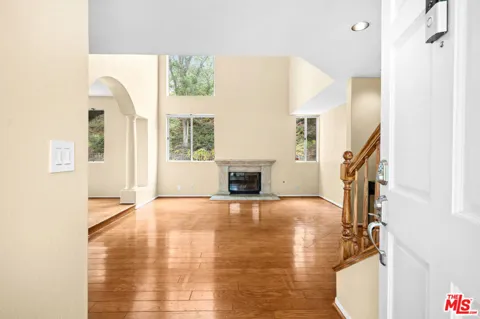
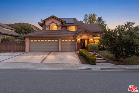
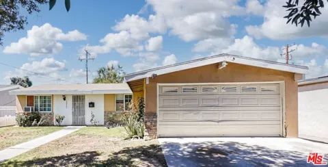
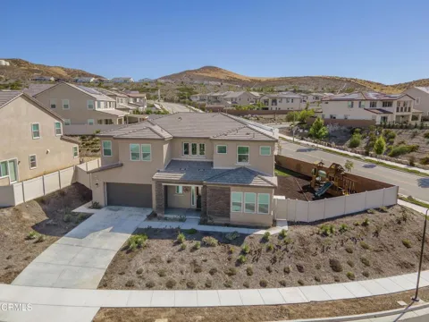
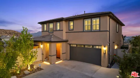
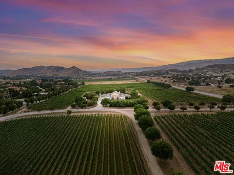
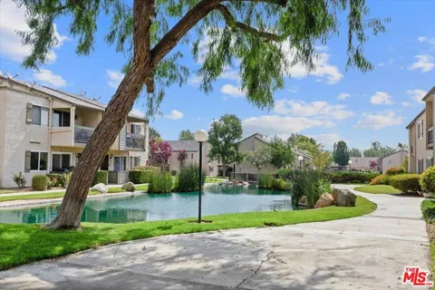
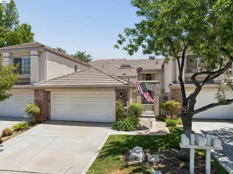
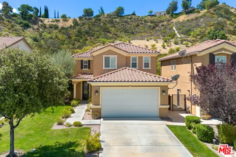
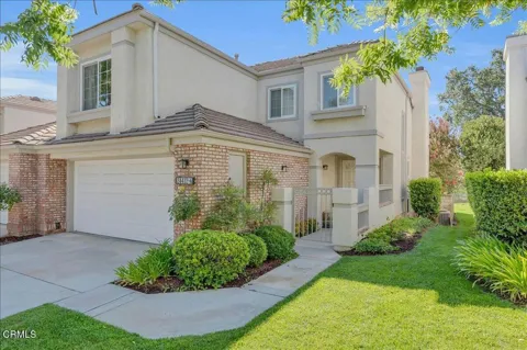
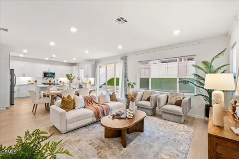
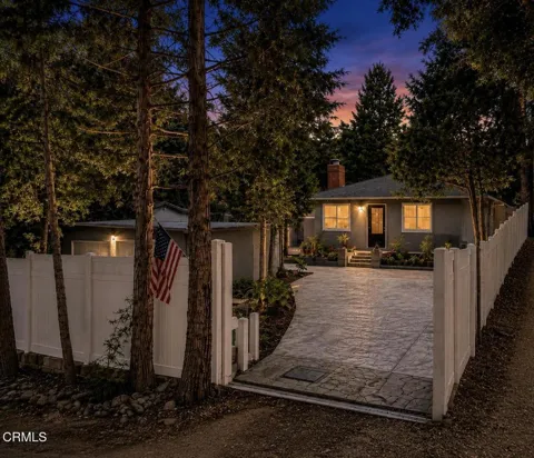
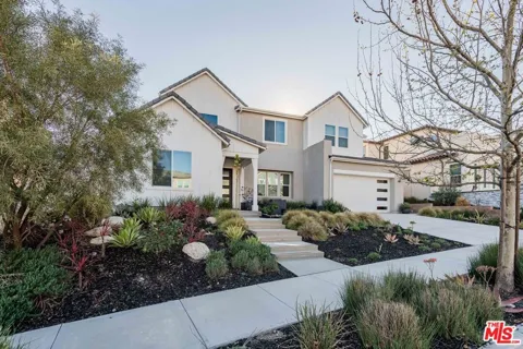
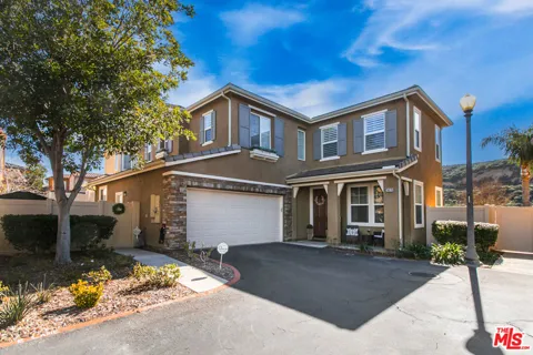
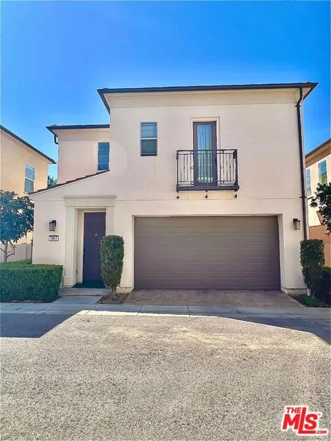
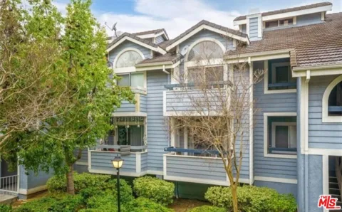
Houses in Santa Clarita, CA
Welcome to Santa Clarita, a master-planned Santa Clarita Valley city in northwestern Los Angeles County, framed by the Angeles National Forest and anchored by the Six Flags Magic Mountain resort.
Santa Clarita is a city in northwestern Los Angeles County, California, occupying the broad Santa Clarita Valley where Interstate 5 and State Route 14 meet, roughly 35 miles from downtown Los Angeles. It is one of the state's newer municipalities: in 1987, the unincorporated communities of Valencia, Newhall, Saugus, and Canyon Country merged to form the city, which today is the third-most populous in Los Angeles County with roughly 229,000 residents. The city's modern form grew out of the old Newhall Ranch, assembled in the 19th century by Henry Mayo Newhall. Valencia, in the valley's western half, became one of Southern California's best-known master-planned communities and remains a major employment and retail center. The area balances suburban neighborhoods with a significant local economy in film and television production, aerospace, and logistics, and it draws visitors year-round to the Six Flags Magic Mountain and Hurricane Harbor resort. Public education is organized through several school districts, most notably the William S. Hart Union High School District for secondary grades, alongside the Newhall, Saugus Union, Sulphur Springs, and Castaic Union elementary districts, and the city is home to College of the Canyons. Metrolink's Antelope Valley Line stops at three Santa Clarita stations, giving residents a rail commute of under an hour to Los Angeles Union Station, while Interstate 5 connects the valley directly to the San Fernando Valley and, northward, to the Grapevine. Santa Clarita tends to attract families, professionals, and commuters who want newer housing, well-regarded public schools, and open-space recreation while staying within reach of Los Angeles employment centers. The Angeles National Forest and a network of paseos, parks, and trails give the city a foothill character distinct from the denser Los Angeles basin to the south.
Frequently Asked Questions
What county is Santa Clarita in?
Santa Clarita is in northwestern Los Angeles County, California. It sits roughly 35 miles north of downtown Los Angeles, at the point where Interstate 5 and State Route 14 meet on the southern edge of the Santa Clarita Valley. The city is the third-most populous in Los Angeles County, behind only the City of Los Angeles and Long Beach.
What communities make up Santa Clarita?
Santa Clarita was incorporated in 1987 from the merger of four previously unincorporated communities: Valencia, Newhall, Saugus, and Canyon Country. Each retains a distinct character, with Valencia as the master-planned core, Newhall as the oldest district centered on Old Town Newhall, and Canyon Country and Saugus occupying the eastern and northeastern valley.
What school districts serve Santa Clarita?
Secondary students attend the William S. Hart Union High School District, one of the region's larger high school districts. Elementary and middle grades are served by several districts, including Newhall, Saugus Union, Sulphur Springs, Castaic Union, and Acton-Agua Dulce. The city is also home to College of the Canyons, a large community college with campuses in Valencia and Canyon Country.
How far is Santa Clarita from downtown Los Angeles?
Santa Clarita is about 35 miles northwest of downtown Los Angeles via Interstate 5. Metrolink's Antelope Valley Line connects three Santa Clarita stations to Los Angeles Union Station in under an hour, making rail commuting a practical option. Hollywood Burbank Airport is roughly 25 miles to the south.
Is Six Flags Magic Mountain in Santa Clarita?
Yes. Six Flags Magic Mountain and its Hurricane Harbor water park are located in the Valencia area of Santa Clarita, west of Interstate 5. The resort makes the city a major Southern California amusement destination, drawing visitors year-round with its roller coasters and water attractions.
MARKET SNAPSHOT
The Market at a Glance
How homes have been selling here over the last 90 days.
Price & Sales History
Market data reflects closed sales over the last 90 days and is provided for informational purposes.
BROWSE BY ZIP
Zip Codes
Browse listings by postal code in this area.
- Grid
- Map
- List