San Mateo County Peninsula City
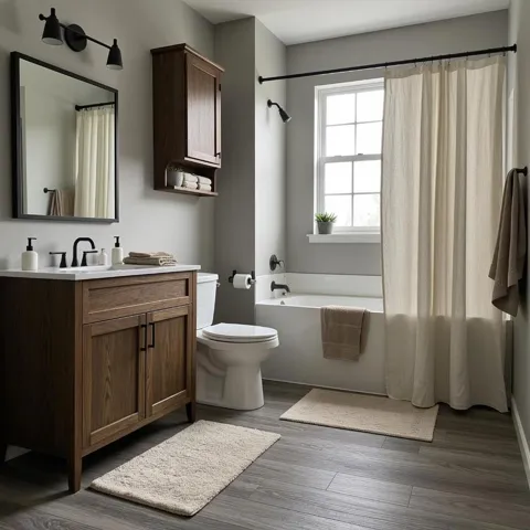
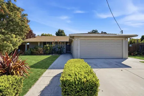
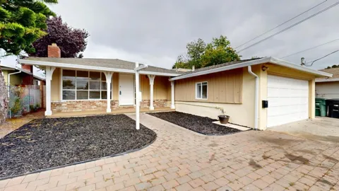
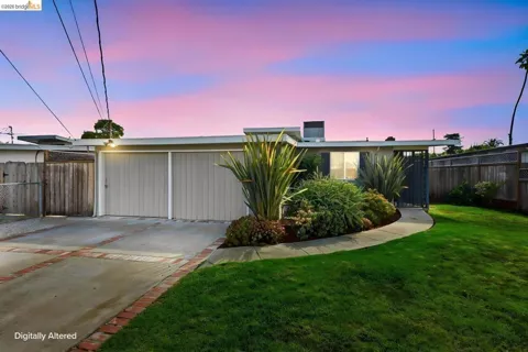
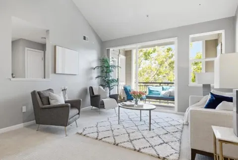
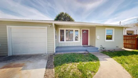
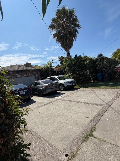
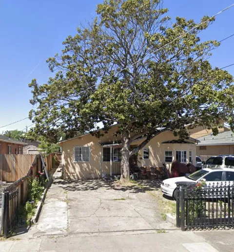
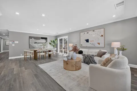
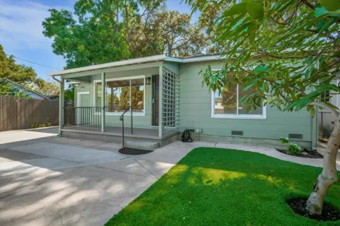
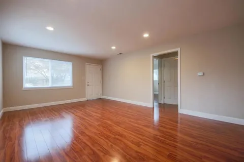
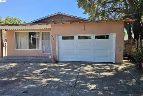
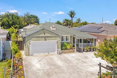
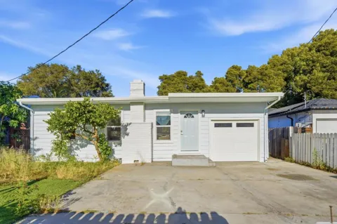
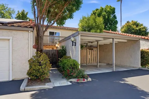
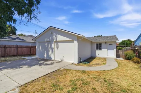
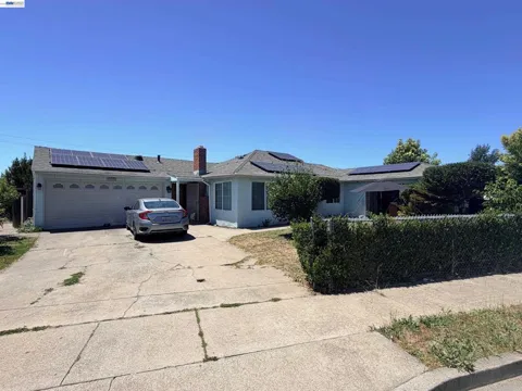
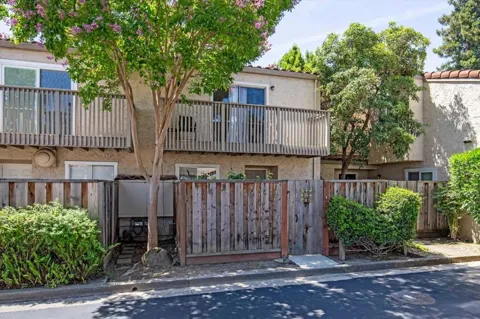
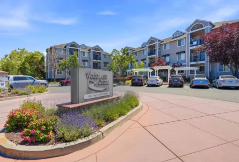
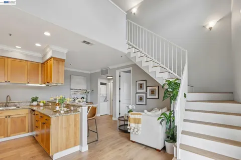
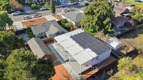
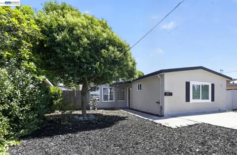
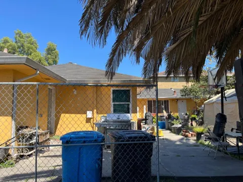
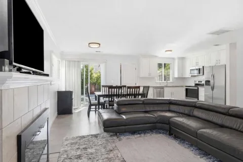
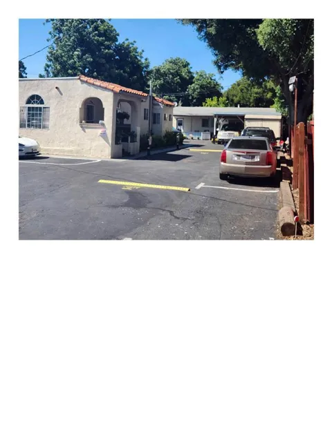
Houses in East Palo Alto, CA
Welcome to East Palo Alto, a compact San Mateo County city on the San Francisco Peninsula, bordered by Palo Alto and Menlo Park and connected to the East Bay by the Dumbarton Bridge.
East Palo Alto sits on the San Francisco Peninsula in San Mateo County, roughly halfway between San Francisco and San Jose. Bordered by Palo Alto to the west and Menlo Park to the north and south, it occupies a compact 2.5 square miles and is home to roughly 30,000 residents. The city's eastern edge reaches San Francisco Bay, where the Dumbarton Bridge carries State Route 84 across the water to Fremont and the East Bay. The area's history predates the city itself. The Ohlone people lived here for centuries before Spanish settlers organized the land as part of Rancho de las Pulgas. Through the early 1900s, the area was known as Ravenswood and North Palo Alto, and it remained largely unincorporated as neighboring cities annexed surrounding land from the late 1940s into the 1960s. East Palo Alto finally incorporated as a city in 1983, after spending decades as an unincorporated "island" within San Mateo County. Today East Palo Alto is a primarily residential community at the doorstep of Silicon Valley. Its location places residents minutes from the technology campuses and downtowns of Palo Alto and Menlo Park, while its own identity remains distinct: a historically significant, culturally diverse city that has long been home to African American, Latino, and Pacific Islander communities. The city maintains a network of parks and recreation facilities across its small footprint, and its streets hold a mix of established single-family homes and multi-family housing that traces the region's evolution from farmland to postwar suburb to modern Peninsula city. For homebuyers, it offers proximity to some of the region's most sought-after job centers within a smaller, more intimate municipal setting.
Frequently Asked Questions
What county is East Palo Alto in?
East Palo Alto is in San Mateo County, California, on the San Francisco Peninsula roughly halfway between San Francisco and San Jose. The city is bordered by Palo Alto to the west and Menlo Park to the north and south.
How large is East Palo Alto?
East Palo Alto covers about 2.5 square miles and is home to roughly 30,000 residents, which makes it one of the more compact incorporated cities on the San Francisco Peninsula. Its small footprint keeps neighborhoods close together and close to neighboring Palo Alto and Menlo Park.
What school district serves East Palo Alto?
The Ravenswood City School District serves East Palo Alto and eastern Menlo Park for grades kindergarten through eighth. High school students living in the city attend schools within the Sequoia Union High School District.
How do East Palo Alto residents commute to Silicon Valley jobs?
U.S. Highway 101 runs along the city's west side, and State Route 84 with the Dumbarton Bridge crosses San Francisco Bay to the East Bay. Caltrain, SamTrans, and the Dumbarton Express bus provide transit connections to Palo Alto, Menlo Park, and East Bay BART stations.
When was East Palo Alto incorporated?
East Palo Alto incorporated as a city in 1983 after decades as a largely unincorporated community within San Mateo County. Before incorporation, the area was historically known as Ravenswood and North Palo Alto.
MARKET SNAPSHOT
The Market at a Glance
How homes have been selling here over the last 90 days.
Price & Sales History
Market data reflects closed sales over the last 90 days and is provided for informational purposes.
BROWSE BY ZIP
Zip Codes
Browse listings by postal code in this area.
- Grid
- Map
- List